The Trinity River and Walker County Development
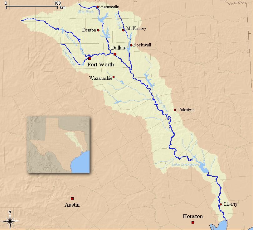
The Trinity River, spanning about 710 miles, is a vital Texas waterway that begins near the Red River in North Texas and continues southeast, emptying into Galveston Bay. The river is broken into four primary forks: the Clear Fork, the Elm Fork, the West Fork, and the East Fork. The West Fork begins in Archer County and flows through Lake Bridgeport, Lake Worth, and the Fort Worth area. The Elm Fork flows near Gainesville and the city of Denton, while the East Fork starts near McKinney and passes through Lake Ray Hubbard. Finally, the Clear Fork begins near Weatherford and runs through reservoirs like Lake Weatherford. Although the Trinity River does not run directly through Walker County, its nearby location influenced the county's development and served as a vital lifeline for settlement, trade, and agriculture in the nineteenth century. [1]
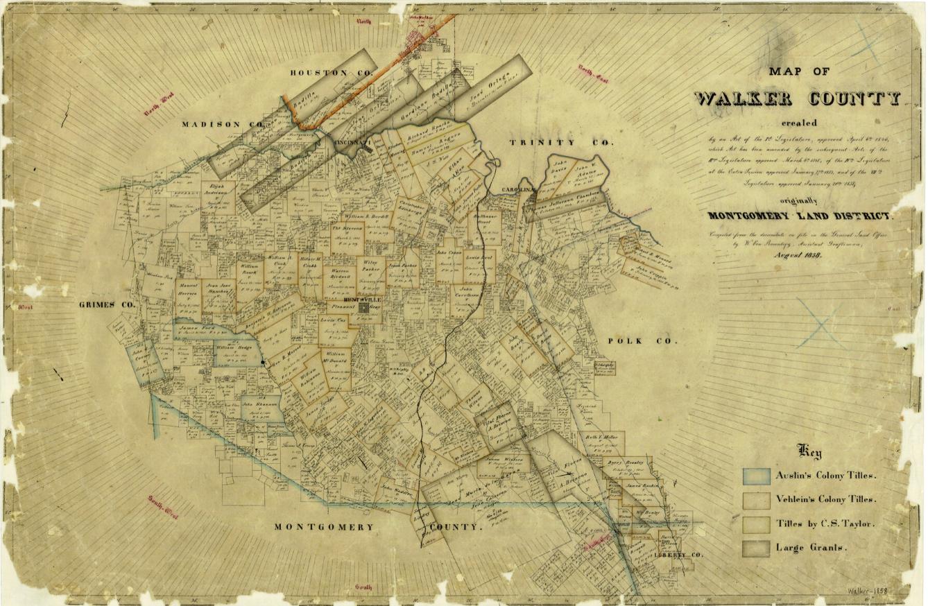
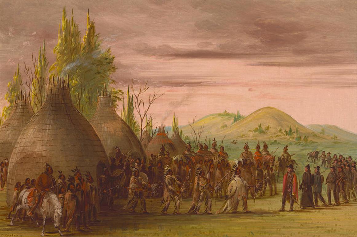
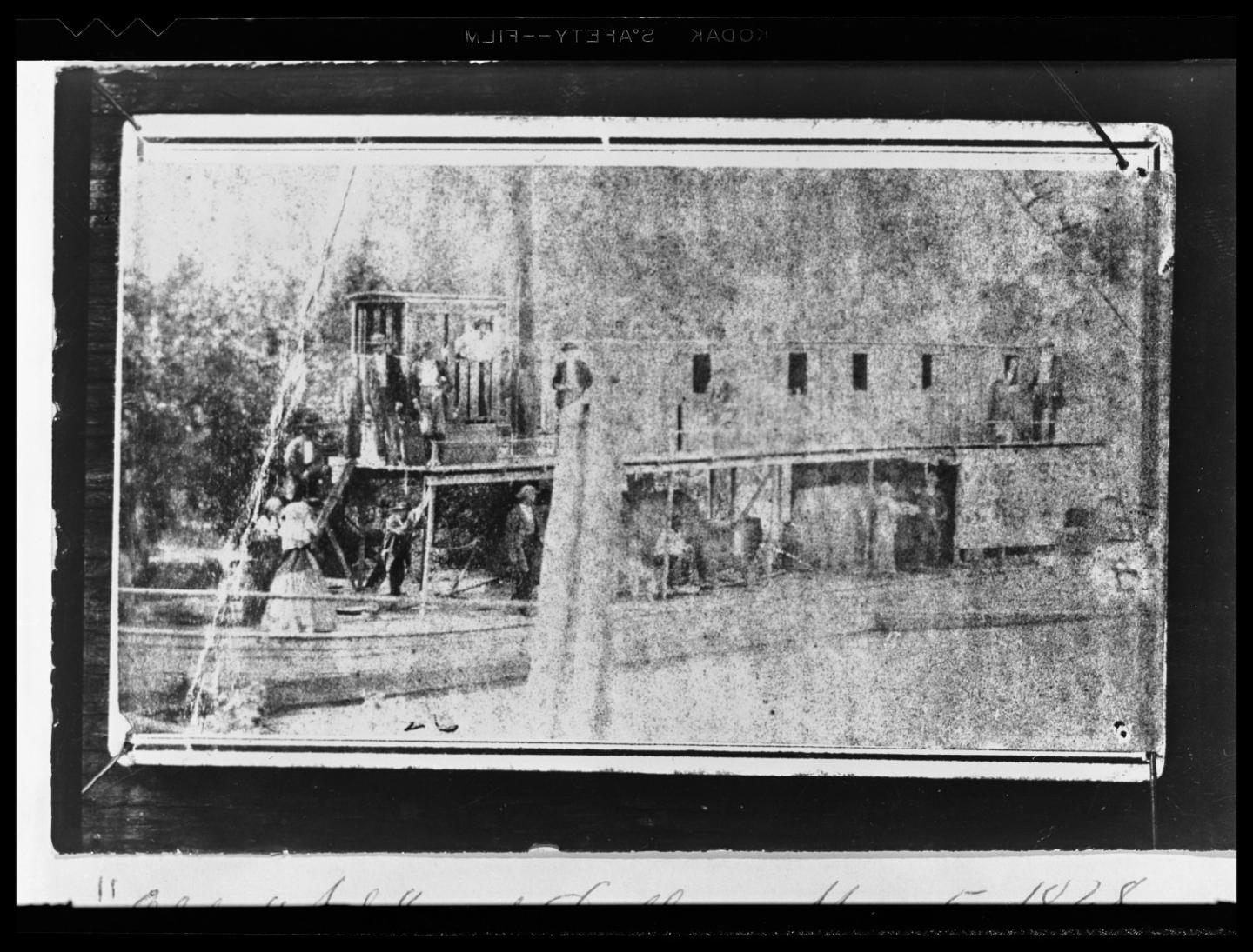
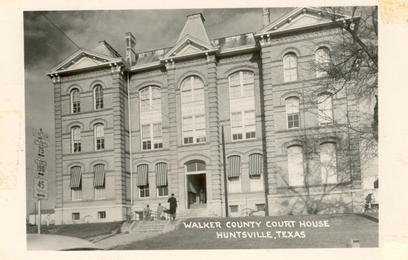
Long before settlers established Walker County, the Cenis Indians lived between the San Jacinto and Trinity Rivers. Access to these waterways afforded opportunities to grow corn crops, which they traded for Spanish horses and trade goods from western Indians. The Cenis Indians used the Trinity not merely to grow crops but as a means of transportation. When Anglo settlers began moving into Texas, particularly between 1821 and 1836, the Trinity River region proved attractive for its fertile land, water supply, and forest resources. These Walker County settlers depended on the Trinity for farming and livestock, as well as for communication and trade. The Trinity River made Walker County a viable area for permanent settlement. After Texas's independence, the Trinity saw one of the earliest bursts of commerce due to steamboat navigation. In 1838, people used the river to transport cotton and agricultural products to the Port of Galveston. Because of access to the Trinity River, the area began to grow in population. It was recognized in 1846 by the First Legislature of Texas, which formally named the area Walker County and designated Huntsville as the new seat of government. This development led to the construction of a courthouse and a new jail in Huntsville, Texas, drawing even more attention to the region. From 1836 to 1850, the Trinity remained one of Texas’s most important commercial rivers, with flatboats and steamboats carrying cotton, timber, corn, and livestock products both up and down the river. [2]
In the 1850s, white planters began to increase the enslaved population of Walker County. African Americans constructed irrigation canals to water cotton and corn fields. Between the 1850s and the 1860s, Walker County only continued to grow as its economy revolved around cotton and slavery. By 1860, Huntsville had established several churches and two colleges, along with many local businesses, which continued to attract individuals to the area. [3]
The Trinity River proved a vital waterway in Walker County's development. Although the river did not run directly through Walker County, it enabled the expansion of agriculture, trade, and permanent settlement by providing early residents with access to fertile land, transportation, and markets. As Walker County grew, the Trinity remained essential to the region’s economy and community life.
Images