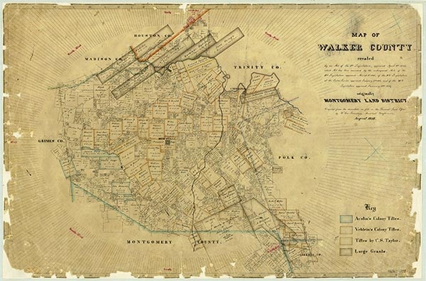
This historical map of Walker County, Texas, was created in August 1858 and depicts the county’s early land divisions, waterways, and settlements in East Texas. Maps like this help historians understand Huntsville’s geographic setting as the county seat and its expansion of agriculture into the twentieth century. | Source: https://www.texasalmanac.com/places/huntsvilleDownload Original File