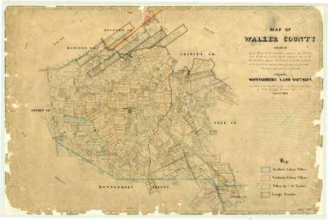
This mid-nineteenth-century map of Walker County depicts Huntsville’s geographic setting when it was first developed as an agriculture, trade, and government center. These types of maps were mainly used by landowners, surveyors, and travelers, using them to locate farms, roads, and town centers. Thanks to enslaved laborers clearing land, planting crops, and maintaining transportation routes, this landscape became infinitely more productive during the 1840s and 1850s. This map provides visualization on the support given by enslaved workers to surrounding farmland and the town’s economy. Download Original File