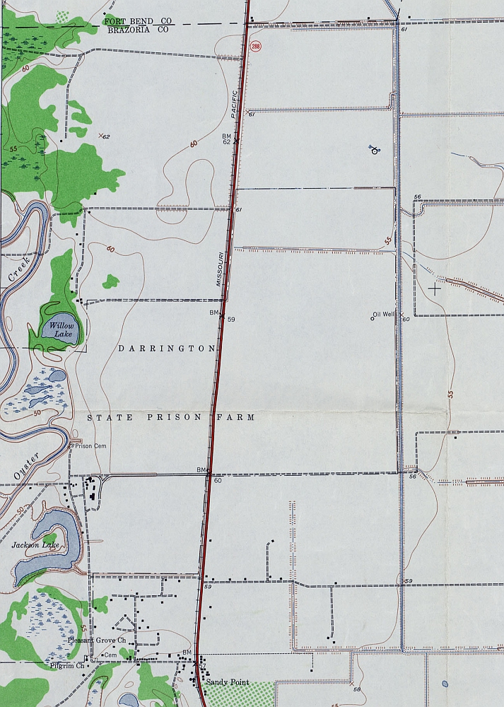
Seen on a 1943 topographical map, Darrington State Prison Farm had a prison cemetery and several buildings on the western edge of its property, just north of Sandy Point.
| Source: Perry-Castaneda Map Collection, University of TexasDownload Original File
Source
Perry-Castaneda Map Collection, University of Texas